top of page
TerraLens
Capturing Earth, One Flight at a Time

Meet the Pilot
My Story
At TerraLens, drone imagery is more than just a visual tool—it's a fusion of science, precision, and perspective. With a B.S., M.S., and Ph.D. in Environmental Science, I bring a deep understanding of ecosystems, land use, remote sensing, and spatial analysis to every flight. My interest extends beyond natural landscapes into real estate, urban planning, and infrastructure, where aerial photography and mapping enhance decision-making and storytelling. TerraLens reflects this unique blend of academic insight and field experience, delivering high-quality drone content tailored for both environmental and built environments.
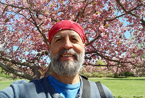
Wilfrid Rodriguez, B.S., M.S., Ph.D.
Chief Drone Operator, Aerial Photography Specialist, and Videographer
Let’s Work Together
Get in touch so we can start working together.
bottom of page